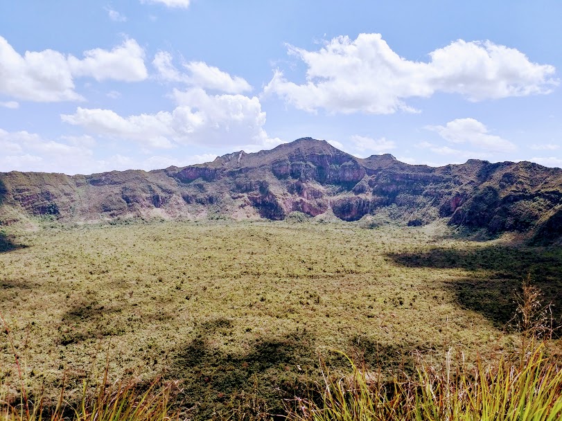
Mount Longonot National Park: Stratovolcano, Crater Rim and Rift Valley Heritage
Mount Longonot National Park: Stratovolcano, Crater Rim and Rift Valley Heritage
Mount Longonot is the dormant stratovolcano whose silhouette dominates the skyline above Lake Naivasha. The mountain is enclosed within Mount Longonot National Park, a fifty-two-square-kilometre conservation area managed by the Kenya Wildlife Service and centred on a single, geologically dramatic feature—the eight-by-twelve-kilometre Longonot caldera. The mountain sits inside the Greater Eastern Rift system, ninety kilometres northwest of Nairobi by road and about thirty kilometres south of Lake Naivasha, and is one of the most accessible high-elevation hiking destinations in Kenya. The combination of geological interest, dramatic vistas, achievable distance and a route that can be completed comfortably in a single afternoon makes Mount Longonot a continued favourite for Nairobi residents, international visitors and Kenyan diaspora returnees looking for a half-day in the Rift Valley.
Geological Setting
Mount Longonot is a young, geologically active stratovolcano formed over the past hundreds of thousands of years by alternating layers of trachytic lava flows and pyroclastic deposits. The eight-by-twelve-kilometre caldera was formed about twenty-one thousand years ago by large eruptions that emptied the magma chamber and caused the surface above it to collapse. The mountain is thought to have last erupted in the 1860s, well within recorded memory in the Rift Valley. The crater floor is densely forested and difficult to access, and lava flows from earlier eruptions are visible on the outer slopes. The mountain sits within a wider geothermal field that includes the Olkaria area, where the Kenya Electricity Generating Company operates Africa's largest geothermal power complex. The geological story of Longonot is documented by the National Museums of Kenya and the Mines and Geology Department of the Ministry of Mining.
Etymology
The name Longonot is a Kiswahili rendering of the Maasai word "Olongongot", which translates roughly as "mountain of many spurs" or "steep ridges". The Maasai are the original Indigenous community of the Naivasha basin and the mountain has long figured in Maasai pastoral movements, oral history and ritual.
Location and Getting There
Mount Longonot National Park lies in Nakuru County, in the Naivasha sub-county, immediately south of the Lake Naivasha basin and just north of Suswa. The park gate is approximately ninety kilometres from Nairobi by road, along the A104 Nairobi-Naivasha highway. From Nairobi, the drive takes between ninety minutes and two hours under normal traffic conditions, longer during weekend peaks and rainy-season slowdowns. The park is also reachable from Naivasha town, which is the most convenient overnight base for international and upcountry visitors. The Kenya Wildlife Service publishes official park information, entry fees and opening hours at the Kenya Wildlife Service portal.
Entrance Fees and Practicalities
KWS operates a tiered fee structure: Kenyan citizens pay the lowest entry, East African Community residents pay a middle tier, and non-resident foreign visitors pay the highest tier, with discounts for children. The park accepts payment through the KWS eCitizen-linked payment system, mobile money and card at the gate. Park hours are typically from 6 a.m. to 6 p.m. There is no overnight accommodation inside the park itself; visitors typically combine the hike with overnight stays at Naivasha-area lodges, camps or homestays. The mountain has no roads—visitors must hike up and round the crater rim—and self-guided hiking is permitted, with optional ranger guides available at the gate. KWS rangers may also be required during periods of elevated security or wildlife activity.
The Hike
The standard Longonot route is a thirteen-and-a-half-kilometre round trip starting and ending at the park gate. From the gate at approximately 2,150 metres above sea level, a 3.1-kilometre well-defined trail climbs steeply up to the crater rim, gaining roughly 350 metres of elevation over a section of loose volcanic scree, rock steps and packed earth. The first kilometre is the gentlest stretch, after which the trail steepens significantly and becomes a sustained ascent. Most hikers reach the crater rim in sixty to ninety minutes. From the rim, the trail continues as a 7.2-kilometre loop encircling the caldera, with the highest point on the rim at 2,776 metres above sea level. The rim loop involves substantial elevation gain and loss beyond the headline 630-metre figure, because the rim itself is jagged. Total round-trip time is typically four to five hours, including rest stops.
Wildlife and Birdlife
Mount Longonot is not primarily a wildlife park, but the surrounding savanna does support a steady population of plains zebra, Maasai giraffe, buffalo, hartebeest, eland, Thomson's gazelle, klipspringer, common duiker, baboons, vervet monkeys and rock hyraxes. Leopard are present but rarely seen. Birdlife is excellent: raptors including augur buzzards, Verreaux's eagles, black-shouldered kites and African hawk-eagles are commonly observed soaring on the thermals around the crater rim. Endemic Rift Valley species and Naivasha-basin wetland species are recorded on the slopes and in the surrounding areas. Birding lists for the park are available through partners of the National Museums.
What to Bring
Although Longonot is a half-day hike, the combination of altitude, exposure and trail steepness deserves serious preparation. Sturdy hiking shoes with good ankle support are essential, as are sun protection, at least two litres of water per person, a windproof shell for the rim, energy snacks, a basic first-aid kit and a charged mobile phone. Equatorial sun and dry-season dust can be punishing on the rim, and rain showers can make the rim trail slippery. Cellular network is reasonable but not guaranteed at all points on the rim. Hikers should aim to start the ascent by 9 a.m. at the latest to comfortably complete the round trip and return to the gate before closing.
Combining the Visit With the Naivasha Circuit
Most visitors combine Mount Longonot with at least one other Naivasha-basin attraction: a boat ride on Lake Naivasha with the famed Crescent Island game walk, a visit to Hell's Gate National Park for cycling, rock climbing and the Ol Njorowa gorge, a tour of the Elsamere Conservation Centre, or a stop at the Olkaria geothermal spa. A weekend itinerary based at Naivasha allows for Longonot on day one and Hell's Gate or Crescent Island on day two. Comprehensive Naivasha tourism information is available through the Kenya Tourism Board.
Conservation Issues
Longonot's conservation profile includes pressures from livestock incursion on the lower slopes, illegal firewood harvesting in the surrounding bush, the risk of fire on the slopes during dry seasons, and the impact of changing rainfall patterns on the vegetation cover. KWS works with the surrounding Maasai community, with private conservancies in the Naivasha basin and with the Kenya Forest Service to manage these pressures. Visitor revenue contributes directly to park management.
For Diaspora Visitors and Returnees
Mount Longonot is a high-value, low-cost outing for Kenyans returning from the diaspora, for diaspora-organised friend or family trips and for visiting business delegations looking for a half-day outside Nairobi. The park's accessibility, the strong photographic record at the rim, the connection to the broader Rift Valley story and the option to combine the hike with adjacent attractions make it one of the most efficient ways to experience the geological character of Kenya. As with all KWS parks, visitors should pay entry fees through official channels, respect the rangers, stay on marked trails and pack out all waste.
Outlook
Mount Longonot's importance is likely to grow over the next decade as Kenyan outdoor tourism continues its post-pandemic expansion, as the Nairobi-Mau Summit highway upgrade reduces travel time from the city, and as the wider Naivasha basin develops new conservation, geothermal and agribusiness initiatives. The mountain itself, of course, is on its own geological timetable—measured in tens of thousands of years rather than tourism cycles—but for present-day visitors it offers one of the most reliably rewarding outdoor experiences in Kenya.
More Articles
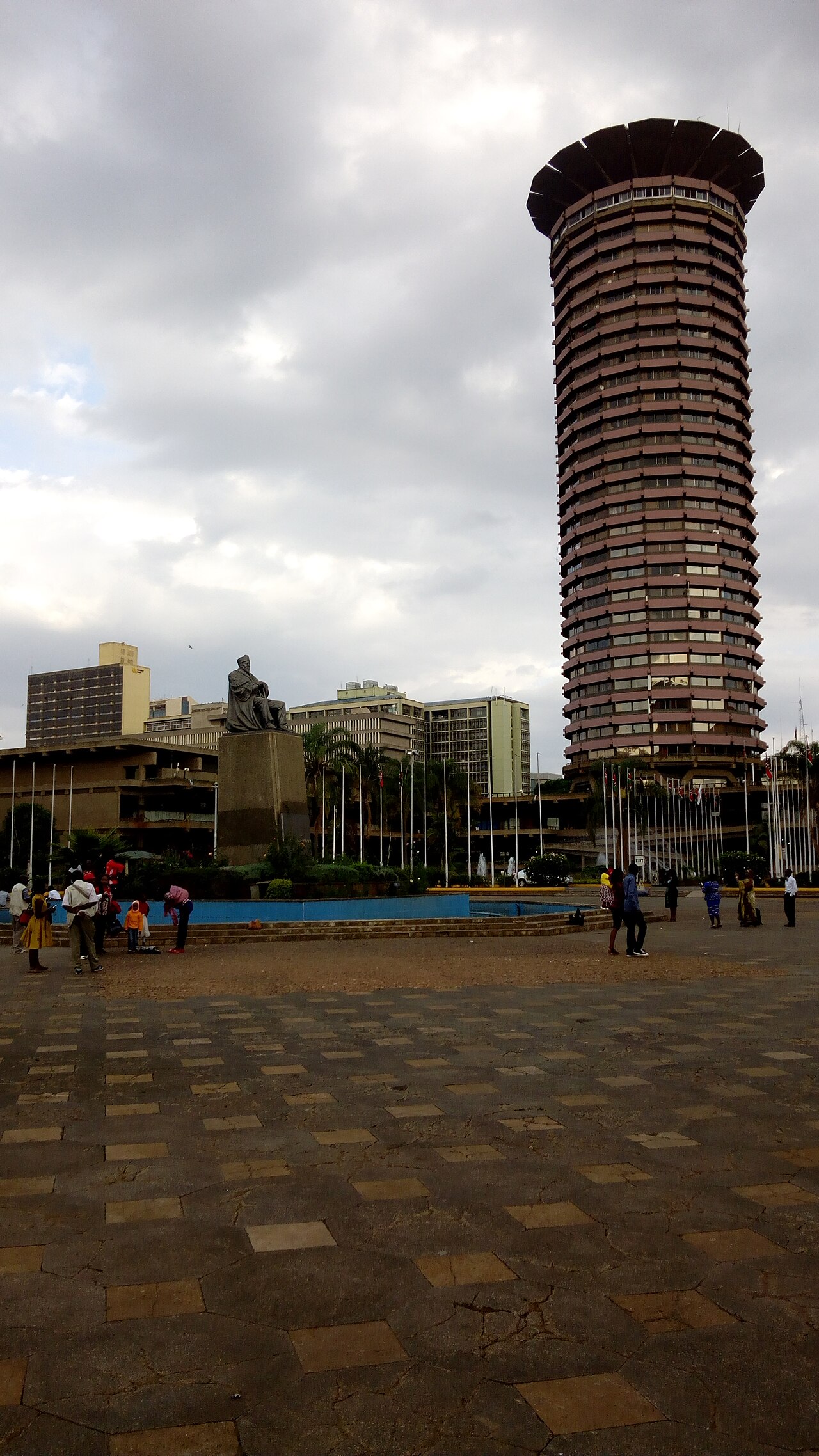
The Multiparty Era Reforms: Saba Saba, the Repeal of Section 2A and Kenya's Return to Political Pluralism
Jul 02, 2026

Eye Care in Kenya: Cataract, Trachoma and the Long Road to Universal Vision Health
Jul 02, 2026
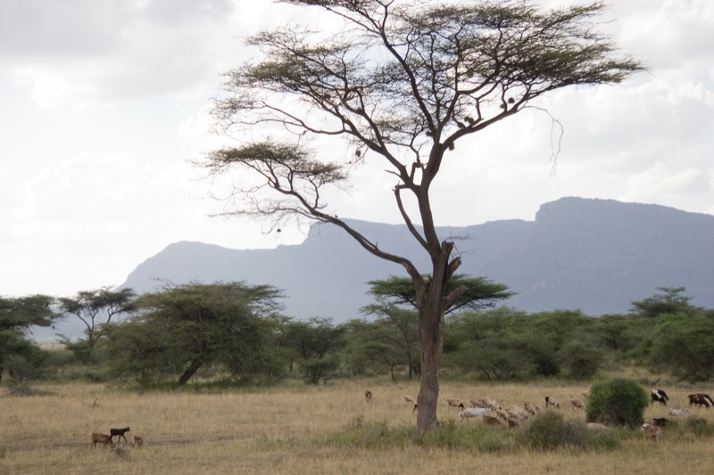
Shaba National Reserve: Joy Adamson's Last Wilderness and Isiolo's Semi-Desert Safari Gem
Jul 02, 2026
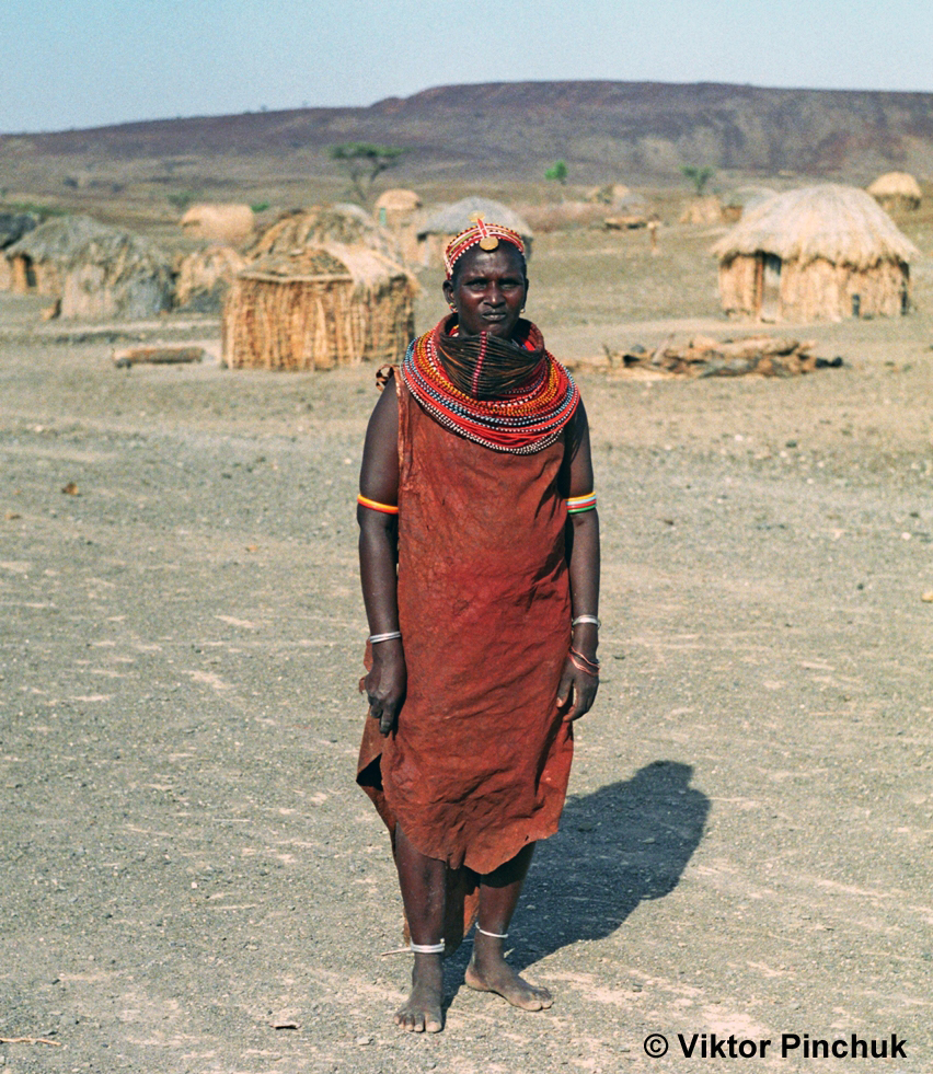
The Rendille People of Northern Kenya: Camel Pastoralism, Clan Traditions and a Culture Under Pressure
Jul 02, 2026
Ukulima Sacco: From Ministry of Agriculture Staff Society to a National Cooperative Open to All Kenyans
Jul 02, 2026